-40%
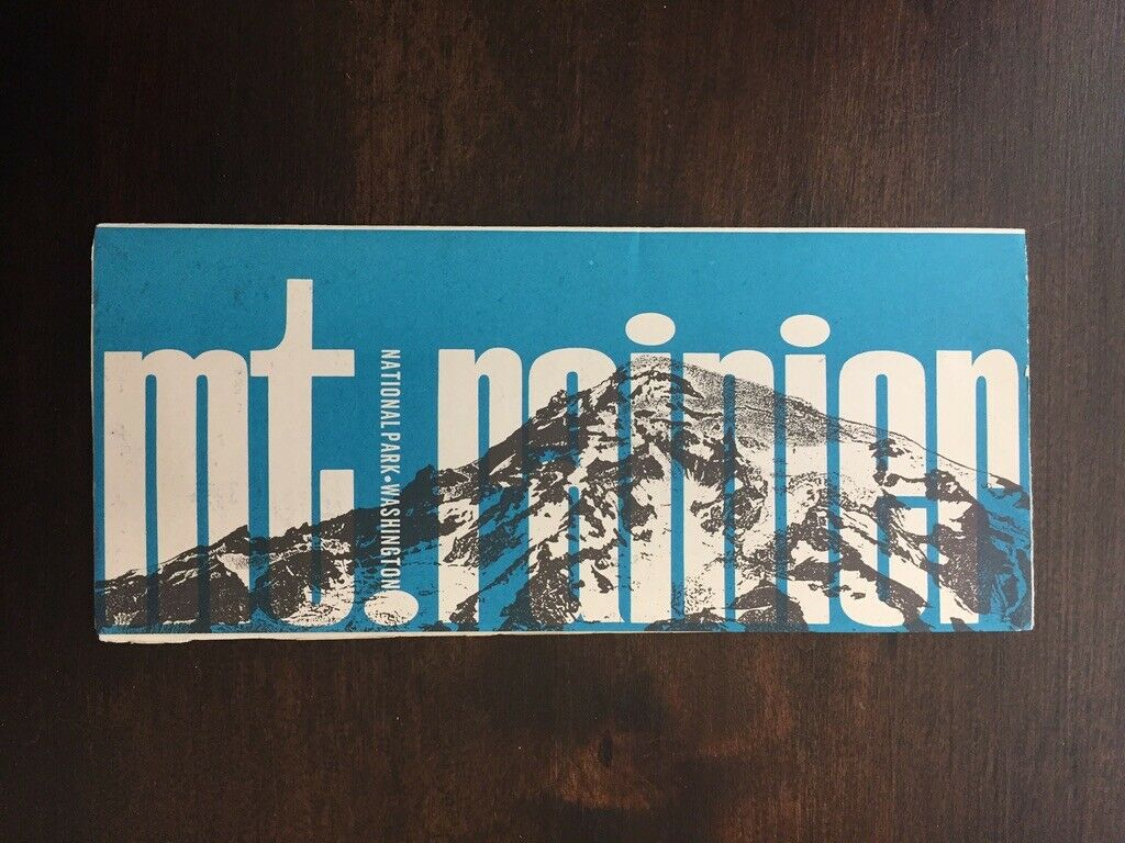
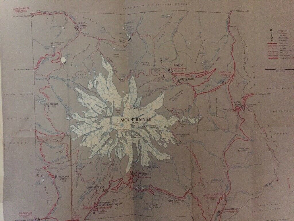
Mt Rainier National Park Washington Road Trail Map Camping Travel Brochure 1966
$ 5.27
- Description
- Size Guide
Description
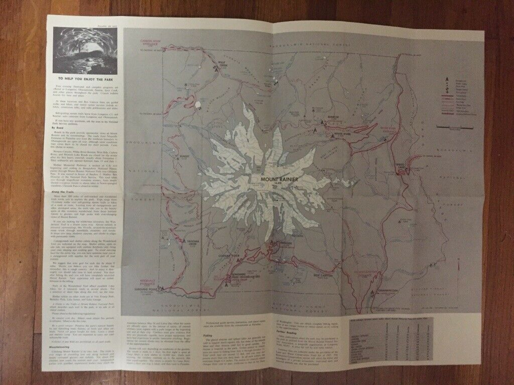
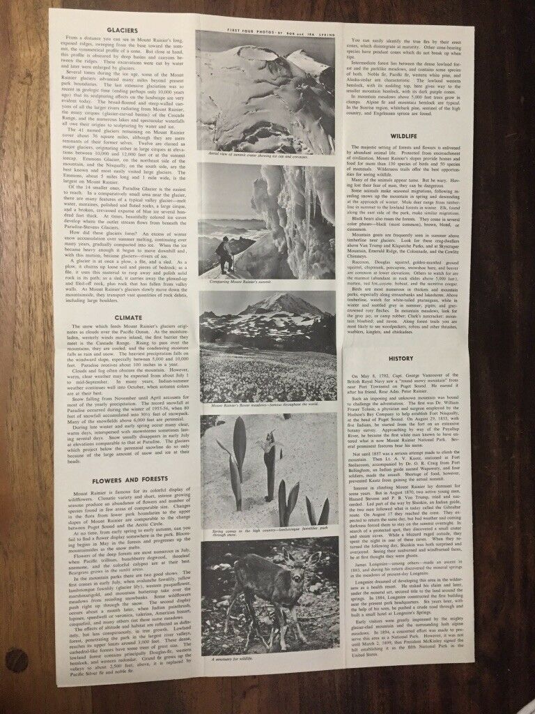
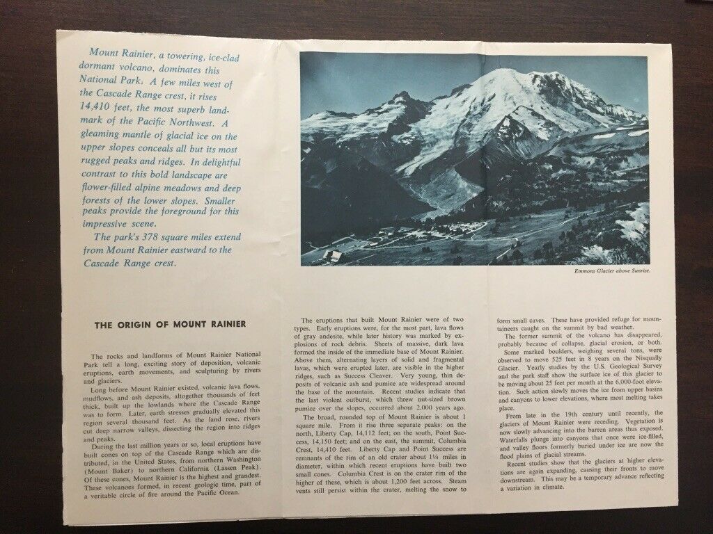
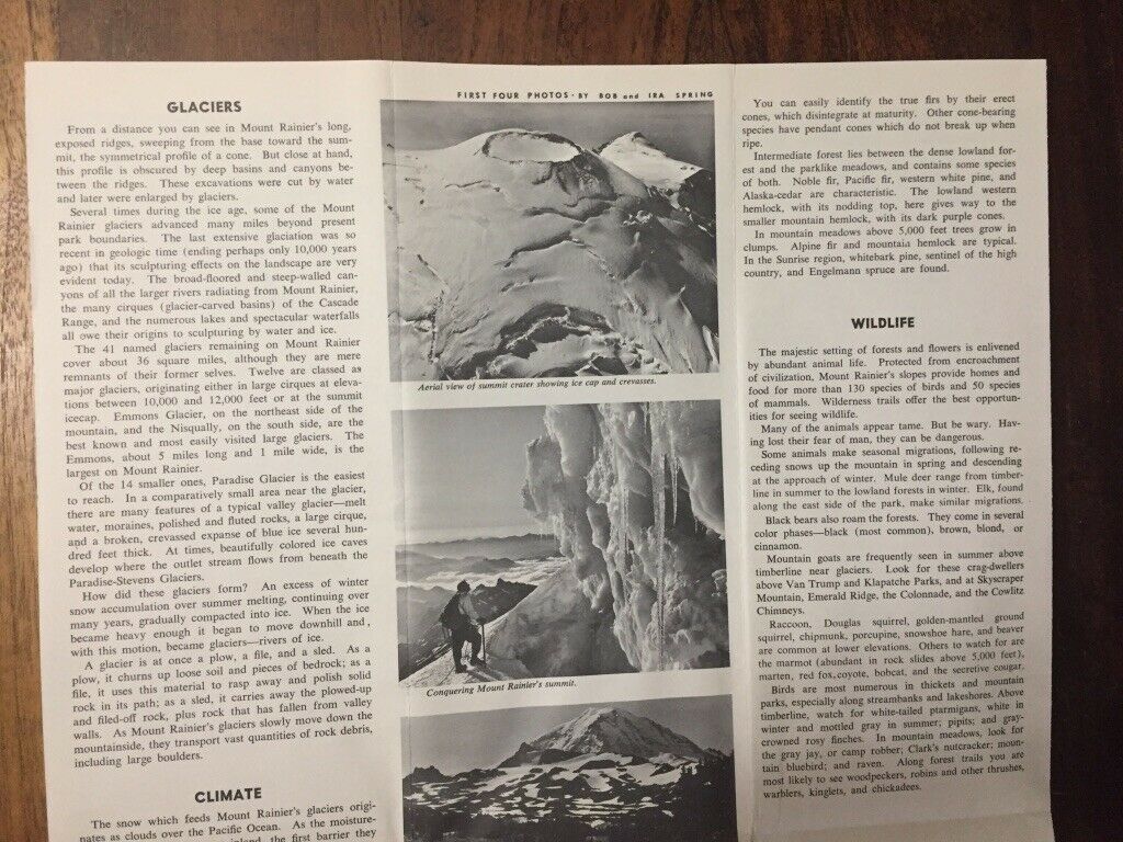
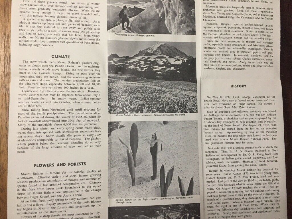
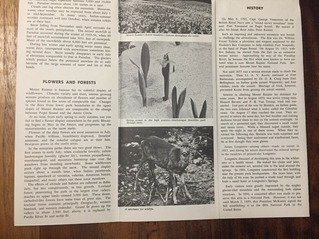
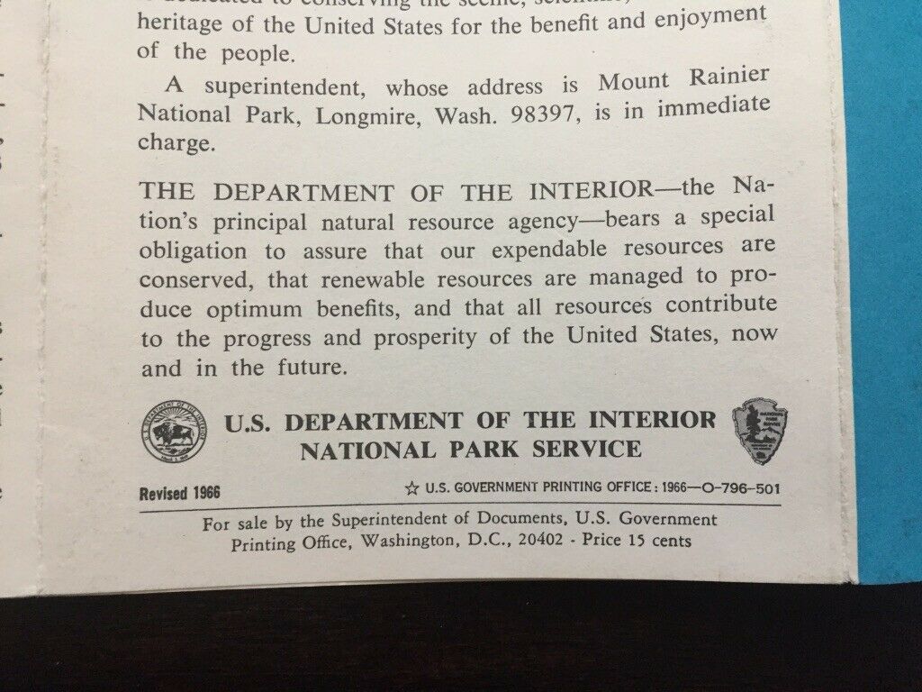
Mount Rainier is a towering, ice-clad dormant volcano located a few miles west of the Cascade Range crest in the Pacific Northwest. This brochure covers the origin, glaciers, mountaineering, climate, flowers and forests, wildlife and history of Mt Rainier. Included is a Mount Rainier road/trail map showing Nisqually Entrance, Sunshine Point, Longmire Park Headquarters, Cougar Rock, Paradise, Box Canyon, Ohanapecosh, Ice Caves, Tipsoo Lake, White River Entrance, White River, Sunrise, Carbon River Entrance, Ipsut Creek, Sunset Tahoma Creek. Issued by the US Department of the Interior National Park Service, 1966.What You Are Buying: Paper Brochure Map
Measurements: Map 19.5 inches x 15 inches, Brochure folded 9.25 inches x 4 inches
Condition: Wear around the edges and on the corners, light smudges.
Packaging: Plastic sleeve and rigid envelope
Shipping: Ships via USPS First Class Mail with tracking
